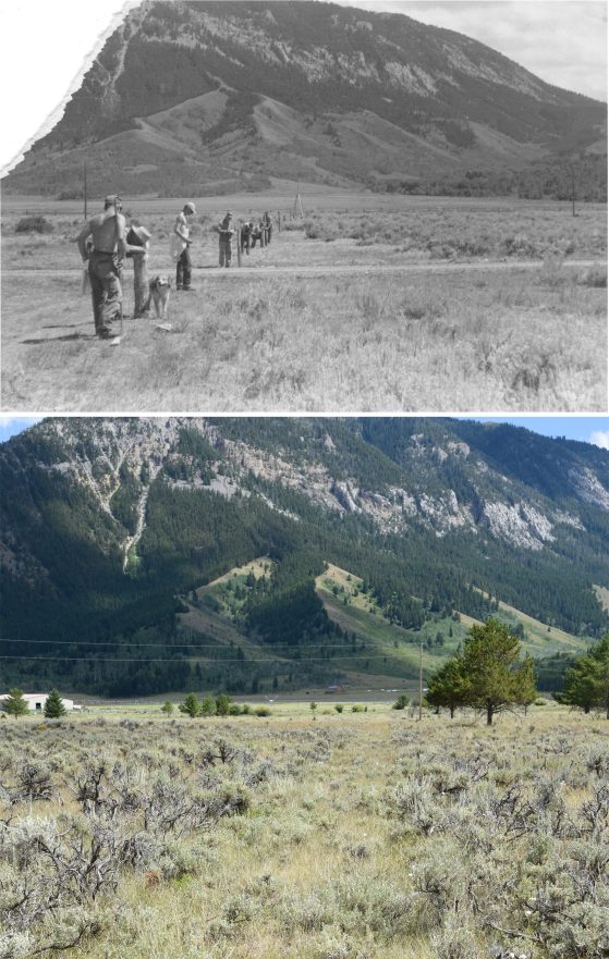
Measuring the Baseline
From 1929 to 1965 Camp Davis was a surveying school operated by the Department of Geodesy in the College of Engineering. Each year, the students and faculty together made an accurate measurement of the distance between two locations on the flat north of the Camp buildings. This baseline formed the backbone of topographic surveys of the valley. In 1937 the measured length of the baseline was 3451.4958’ ± 0.00571’. Though last used in 1965, the path cut through the slow-growing sage is still visible.
Upper photograph, 1951. Lower photo by Dale Austin, 2019.